
For 30 years, federal geologists have been quietly taking a ‘census’ of hidden oil and gas beneath the Gulf Coast, and every new count keeps changing America’s energy map
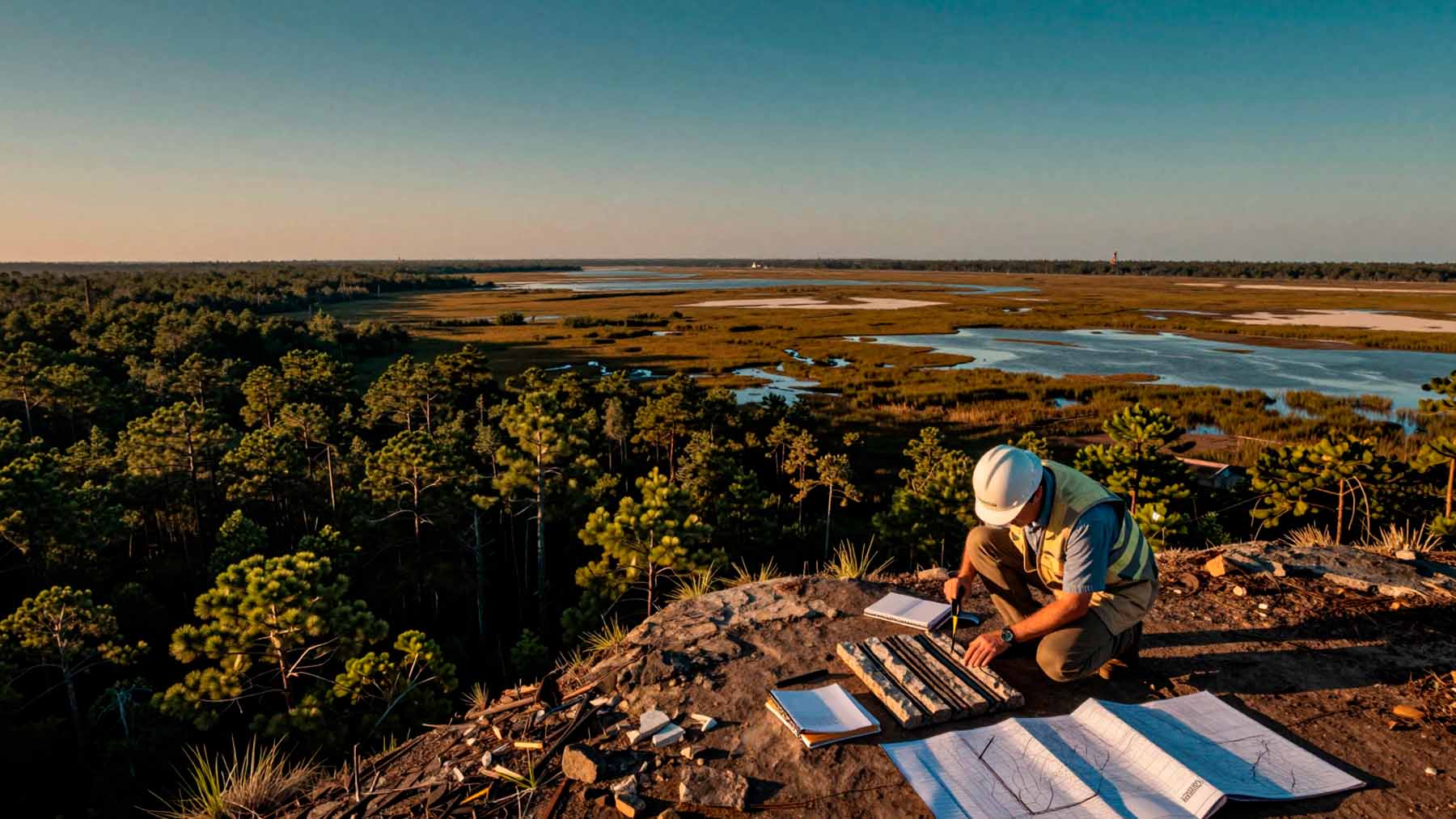 Image generated with artificial intelligence
An unseen energy landscape lies deep beneath the U.S. Gulf Coast. It spans thousands of square miles from the pine forests of East Texas to the limestone flats of South Florida. Miles underground, vast rock layers hold massive stores of oil and gas that no drill bit has ever reached.
Since 1995, federal geologists have systematically mapped these hidden reserves. The USGS Gulf Coast Geologic Energy Assessments and Research project, known as GEAR, tracks undiscovered, technically recoverable petroleum. Its decades of data help shape energy decisions nationwide.
A region rich in hidden resources
The Gulf Coast ranks among the most geologically complex energy zones in the United States. Onshore basins and state waters contain ancient rock layers formed over millions of years. Measuring these hidden resources requires continuous scientific work.
Every single estimate relies entirely on open scientific data, proving that America’s real energy potential is driven by facts rather than corporate guesswork.
Operating under the Energy Policy and Conservation Act, GEAR estimates petroleum that exists in nature and can be extracted with current tools. The project works alongside the broader USGS National Oil and Gas Assessment.
Jurisdiction stays clear and simple. GEAR covers onshore lands and state waters out to 3 nautical miles, or 9 nautical miles off Texas and Florida. Once you cross into federal ocean waters, jurisdiction shifts to the Bureau of Ocean Energy Management.
Two types of oil and gas, two different scientific approaches
Petroleum collects underground in two distinct ways. Geologists use separate mathematical models to measure each one accurately.
Conventional accumulations form when oil and gas migrate through rock. They gather in porous traps beneath solid rock caps. Tapping these concentrated pockets is straightforward.
Continuous accumulations work differently. Hydrocarbons remain trapped throughout the rock matrix across huge regions. The Eagle Ford shale play in Texas is a famous example. Because the underlying physics differ, GEAR uses tailored methods for both types. This dual approach keeps the resulting estimates credible and unbiased.
Decades of assessments: From Cotton Valley to Eagle Ford
GEAR began its long-term research program in 1995. Early surveys covered the Western Gulf, East Texas Basin, and Louisiana-Mississippi salt basins. Those initial studies established a scientific baseline for the region.
Over the following years, researchers systematically assessed formation after formation. They evaluated the Cotton Valley, Haynesville, Bossier, and Deep Tuscaloosa Group sandstones. Some formations were revisited as technology improved. For instance, the Eagle Ford received major updated assessments in both 2011 and 2018.
All GEAR assessment results remain completely open to the public. The team regularly publishes reports, fact sheets, and spatial mapping datasets online. Anyone can review the baseline numbers without paying a fee.
Who uses this data — and why it matters
A wide range of decision-makers relies on GEAR data. Federal agencies use these figures to guide public land leasing and long-term energy policy.
State leaders use the assessments to evaluate local resource potential and guide environmental permitting. Communities near prospective drilling zones gain a clear picture of local underground assets.
Independent researchers and industry analysts also depend on the project. Unlike private corporate estimates, federal USGS data stays free from commercial bias. It provides a neutral starting point for public policy debates.
What the ongoing record reveals about U.S. energy strategy
Thirty years of continuous assessment prove that energy knowledge is never static. Deep geology stays the same, but human technology and analytical tools evolve quickly.
Revisiting major formations like the Eagle Ford shows how new drill data alters resource counts. As extraction methods advance, previously unreachable petroleum becomes technically recoverable. GEAR updates its maps to reflect these technical leaps.
Accurate baseline numbers remain essential for national security, economic planning, and energy transition goals. GEAR will keep updating its census as new energy plays emerge.
What makes this 30-year census so vital? Every single estimate relies entirely on open scientific data, proving that America’s real energy potential is driven by facts rather than corporate guesswork.
The United States Geological Survey offers a more detailed review.

Kelly is an experienced writer with 15 years of experience exploring the big stories that shape our world, from tech breakthroughs and space exploration to climate, energy, and the fascinating quirks of science. She has a talent for turning complex ideas into sharp, memorable insights that stay with readers long after they’ve finished reading.
