
Three engineers staring at a map of America’s reservoirs just uncovered a “sleeping giant” that could power 100 million homes
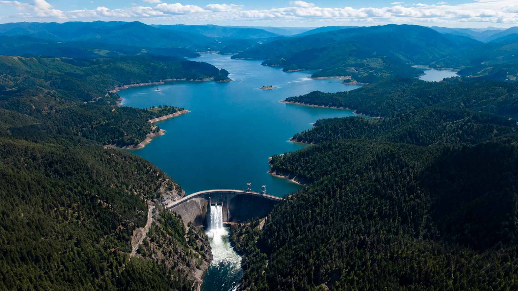 Image generated with artificial intelligence
America’s federally managed reservoirs are everywhere — holding back rivers, supplying drinking water, quietly generating hydropower. Their surfaces, often spanning thousands of acres, spend most of their existence facing the sky.
A small team of researchers at the National Renewable Energy Laboratory has now done something no one had attempted before: systematically mapped what those surfaces could do if put to work. Their findings, published in Solar Energy, got the scientists’ own attention.
A first-of-its-kind accounting
The researchers — Evan Rosenlieb, Marie Rivers, and Aaron Levine — are geospatial scientists and a senior legal and regulatory analyst at NREL. Their goal was straightforward but surprisingly uncharted: figure out exactly how much energy floating solar panels could generate if installed on federally owned or regulated U.S. reservoirs.
The team also plans to expand the geographic scope, looking beyond federal reservoirs to smaller water bodies, estuaries, and potentially offshore ocean sites.
They developed a novel geospatial approach, systematically mapping viable sites across the country. Results are published in Solar Energy and are publicly accessible through the AquaPV website, where developers can pull site-specific data to inform project planning.
What separates this study from earlier attempts isn’t just the federal focus. Previous research tried to estimate floating solar potential across U.S. water bodies, but those efforts didn’t rigorously account for which sites actually have the physical conditions to support an installation — leaving developers with estimates that looked strong on paper but never translated into real projects.
Not every reservoir makes the cut
The team’s first task was filtering out sites that simply won’t work. That turned out to eliminate a significant portion of the map.
Some reservoirs carry regular shipping traffic. The wakes those vessels create can stress mooring lines and damage the float infrastructure that keeps solar arrays stable. Others get too cold in winter, complicating maintenance and potentially shortening panel lifespans. Then there are shallow reservoirs and those with steeply sloping bottoms, where anchoring panels securely becomes impractical or outright impossible — without a reliable anchor system, floating arrays can’t stay correctly positioned to capture sunlight efficiently.
By systematically excluding unsuitable sites, the team produced an estimate far more actionable than what came before. That precision matters well beyond academic interest. Developers need credible data to justify capital investment, and regulators need accurate assessments before approving new projects. Vague or inflated estimates don’t help either group.
The surprising scale of the opportunity
After filtering, the numbers are still striking. Suitable federal reservoirs could technically host floating solar capacity generating up to 1,476 terawatt-hours of electricity per year — enough to power roughly 100 million U.S. homes annually.
Rosenlieb is careful about how that figure should be read. “That’s a technical potential,” he explained — meaning it represents the theoretical maximum if every viable reservoir were fully developed with as many panels as it could hold. No one expects that to happen. Still, even a partial picture is compelling. “Even if you could develop 10% of what we identified, that would go a long way,” Rosenlieb said. Ten percent of 1,476 terawatt-hours remains an enormous contribution to national clean energy goals.
The domestic industry has a long way to go to reach even that modest fraction. According to Levine, the U.S. currently has no single floating solar project exceeding 10 megawatts. The technology exists and operates at scale across parts of Asia and Europe. Here, it remains firmly early-stage.
Why reservoirs and solar are a natural pair
Part of what makes this opportunity attractive is that floating solar sidesteps one of renewable energy’s most persistent political problems: land use conflict. Panels installed on water don’t displace farms, forests, or development. The surface is already there, already managed, already owned.
There’s a water conservation angle too. Solar panels shade the surface beneath them, reducing evaporation — and in drought-prone regions of the American West, where many federal reservoirs sit, that’s not a trivial side effect. It’s a meaningful secondary benefit for water managers already under pressure.
Hydropower reservoirs are particularly promising for another reason. A hybrid solar-hydro system could smooth out one of hydropower’s biggest vulnerabilities: drought. When low water levels force a facility to throttle back, co-located floating solar panels can keep producing electricity while the reservoir recovers. The two technologies cover each other’s weaknesses in a way that’s hard to replicate with either alone.
Newly constructed pumped-storage reservoirs represent an especially low-conflict category. These man-made basins, built specifically to store and release energy on demand, aren’t connected to natural river systems. No established wildlife habitat depends on them, and no recreational community has built traditions around them. As floating solar sites go, they’re about as unencumbered as it gets.
What comes next for floating solar research
The current study is a foundation, not a finish line. The NREL team has already identified the next layers of analysis needed before the map becomes truly useful for decision-makers.
Proximity to transmission infrastructure and electricity demand centers will be assessed next. A reservoir with enormous solar potential means little if it sits hundreds of miles from the nearest grid connection or population center. Environmental sensitivities will also need evaluation — wildlife habitat, recreational use, local ecosystem health. Levine and Rosenlieb acknowledge this work hasn’t been done yet, and they’re clear it needs to happen before development can responsibly move forward on many sites.
The team also plans to expand the geographic scope, looking beyond federal reservoirs to smaller water bodies, estuaries, and potentially offshore ocean sites. State and federal regulatory pathways will be mapped as well, giving developers a clearer picture of how to move a project from concept to construction. The potential is now quantified. Turning it into operating projects is the harder work — and it’s just beginning.


Carlos is an engineer with strong expertise in technical and industrial topics. He previously worked at international companies such as Siemens and is multilingual.
