
Geologists mapped 12,000 records of the North Sea floor and found that burying cables deeper can actually make them more vulnerable
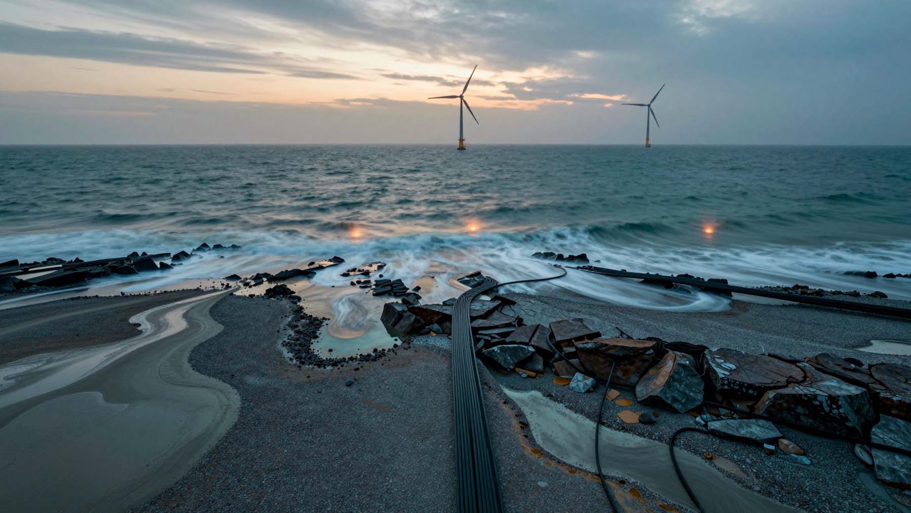 AI-made
Beneath the North Sea, thousands of miles of cable carry electricity from offshore wind farms to the mainland. They also route vast amounts of internet traffic between nations.
For years, engineers relied on a simple assumption. Bury them deep enough in the seabed, and they will be safe.
A new study suggests that assumption is wrong. The seabed these cables thread through is far stranger than we thought. It is unpredictable.
Researchers mapped what the seabed actually looks like in the zone that matters most: the upper six and a half feet below the seafloor.
The models guiding their burial are missing the big picture.
The cables holding modern life together
Subsea cables do two vital jobs at once. They carry internet traffic between countries. They also connect offshore wind farms to the power grid.
Both roles are essential. Both depend on fragile infrastructure threading through the seabed.
The shallow waters of the continental shelf are where the danger lies. Ship anchors drag. Fishing gear scrapes. Dredging and natural erosion constantly shift the bottom. The closer cables run to the surface, the more exposed they become.
Accurate seabed knowledge is critical. Installing and protecting these lines is incredibly expensive. It is a logistical nightmare.
Getting the geology wrong before laying a single foot can lead to costly mistakes. Those mistakes are almost impossible to undo.
A one-size-fits-all assumption—and why it falls short
The standard approach to protection relies on burial. Push the cable deep into the seabed, and it should be safe. Risk assessments typically apply a “single-soil assumption.”
This is the idea that seabed conditions across an area are uniform.
They are not. The seafloor ranges from fine sand to gravel to shallow bedrock, sometimes within very short distances. Treating it as a single material produces plans that do not reflect reality.
Deeper burial seems like an easy fix, but digging deeper drives up costs fast. It can also cause cables to overheat. That just swaps one risk for another.
What 12,000 geological records revealed
Researchers mapped what the seabed actually looks like in the zone that matters most: the upper six and a half feet below the seafloor.
Scientists from the British Geological Survey, Durham University, and the University of Dundee teamed up. They integrated more than 12,000 geological records from archives to build a highly detailed map.
What they found challenges the single-soil model. Layered soils are the norm, not the exception. Most sites contain multiple soil types stacked on top of each other. Think sand sitting over clay, gravel, or peat. Hidden peat deposits lurk beneath the sand in areas where standard maps show nothing.
These hidden layers directly affect how cables behave during installation and over time.
Anchors, models, and world-first experiments
Mapping the geology was only part of the project. Researchers also needed to understand how anchors behave when they hit layered, complex ground.
Durham University led the computer modeling using an advanced method called the material point method (MPM).
Professor Will Coombs noted this represents 12 years of work advancing MPM for large-deformation soil interactions. It delivers predictive power that commercial software cannot match.
The University of Dundee ran physical scale tests. They used a world-first technique that tracks anchor movement underground using wireless tech.
Together, the models show that realistic, layered ground produces vastly different anchor depths than old, simplified models. That gap is large enough to determine whether a cable survives an anchor strike.
Rethinking how — and where — cables get buried
The research does more than identify a problem. It points toward an evidence-based way to make decisions about cable routing and burial depth.
Moving beyond broad regional maps gives industry and regulators a stronger foundation. The findings could update global cable-burial standards, shifting guidance closer to real ground data.
This methodology works outside the North Sea, too. It applies anywhere complex geohazards like landslides or earthquakes threaten offshore infrastructure.
As offshore wind capacity expands and data demands grow, the pressure on these cables will rise. Understanding the ground they rest in matters just as much as laying them. If we do not, we ignore a critical question. What is making them more vulnerable?
Kelly is an experienced writer with 15 years of experience exploring the big stories that shape our world, from tech breakthroughs and space exploration to climate, energy, and the fascinating quirks of science. She has a talent for turning complex ideas into sharp, memorable insights that stay with readers long after they’ve finished reading.
