
Submarine landslides have quietly threatened offshore wind farms for years and scientists finally found a way to see them coming
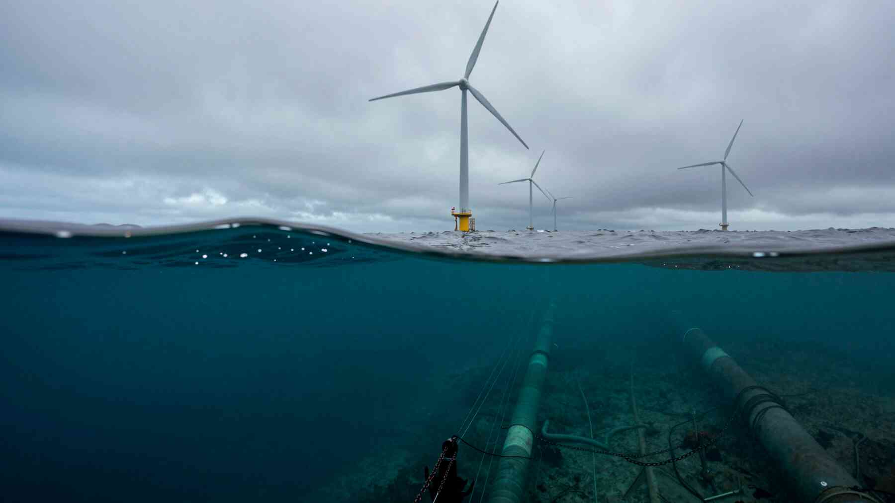
Beneath every offshore wind farm and oil platform lies a hidden world most people never consider — a vast web of pipelines, anchors, and cables resting on a seabed that is anything but still. These structures are the invisible backbone of the energy systems that power millions of homes.
And they’re quietly at risk. Submarine landslides can strike without warning, capable of wiping out entire subsea installations in moments. For years, predicting when and where they might occur has remained one of offshore engineering’s most stubborn unsolved problems.
The silent threat lurking beneath offshore energy infrastructure
The subsea world beneath offshore energy platforms is staggeringly complex. Pipelines carry extracted resources across the ocean floor, anchors hold massive structures in place, and risers and cables connect the surface to the seabed — forming an intricate network that makes offshore energy possible. Every piece of it sits on ground that can move.
Site characterization draws on geophysicists, geologists, geomatic technologists, and geotechnical engineers, each contributing a different layer of understanding.
Submarine landslides can completely wipe out these installations. Unlike storms or equipment failures, which operators can monitor and prepare for, underwater landslides strike with little warning, and the threat tends to be overshadowed by more visible hazards above the waterline.
That invisibility carries real financial weight. When companies can’t trust that their subsea infrastructure will survive geohazards, investment decisions become harder to justify — sometimes before a single structure is even built.
A new method that reads the seabed like a story
Zenon Medina-Cetina, an associate professor in the Department of Civil & Environmental Engineering at Texas A&M University, has spent his career focused on exactly this problem. His team may now have a reliable way to predict when and where underwater landslides are likely to occur.
The key is site characterization — gathering detailed information about the seabed, sub-seabed, and surrounding environmental conditions before any offshore project begins. This work happens before oil and gas operations start, before wind farm construction, before anything is anchored to the ocean floor. It’s foundational, not optional.
Site characterization draws on geophysicists, geologists, geomatic technologists, and geotechnical engineers, each contributing a different layer of understanding. Medina-Cetina’s model calibration methodology takes that collective data and uses it to predict underwater landslides with greater precision than previous approaches allowed.
Why sequence matters: the ‘walk before you run’ principle
Here’s where the research gets specific — and where many projects quietly go wrong. The order in which different experts contribute their findings isn’t arbitrary. It’s critical.
Medina-Cetina is direct about this: the work should start with the geophysicist, then bring in the geologist, then have the geomatic group working alongside the geotechnical engineers. Skipping steps or reordering them — often due to budget pressure or tight timelines — introduces uncertainty that can compromise the entire landslide prediction.
He uses a vivid analogy to explain why. “Imagine that I need to train a baby to walk while teaching it how to run,” he said. “This is going to be much harder, right?” The sequence isn’t bureaucratic procedure. It’s the foundation of accuracy. When teams follow the proper order, each layer of evidence informs the next, and landslide models get better calibrated as data accumulates — building toward predictions that reflect the actual complexity of the seabed.
Bayesian statistics: turning uncertainty into confidence
The methodological engine behind this approach is Bayesian statistics — a probabilistic framework that updates predictions as new data arrives. Rather than producing a single fixed estimate, it continuously refines its understanding based on incoming evidence. The model learns.
Each new piece of site characterization data sharpens the prediction. As Medina-Cetina’s team demonstrated, the methodology increases both the accuracy and the confidence of landslide models when they make predictions. That’s not a small distinction — confidence levels shape how companies allocate risk.
The real-world consequences are direct. Companies funding offshore projects lose money when they can’t trust that their subsea infrastructure will hold up under geohazardous conditions. A more reliable prediction model reduces that uncertainty, which translates into better-informed investment decisions and safer operations overall.
What this means for the future of offshore energy
Offshore wind energy is expanding rapidly, and oil and gas operations continue to push into deeper, more geologically complex waters. Both sectors stand to benefit from a more dependable way to assess submarine landslide risk. Safer, more predictable subsea conditions could lower the barrier to investment in regions previously considered too uncertain.
The research was funded by the Research Partnership to Secure Energy for America and PLENUM Soft, and was published in the journal Landslides. That publication marks a step toward broader industry adoption. As offshore energy development accelerates, tools that bring clarity to one of the seabed’s most dangerous unknowns will only grow more valuable.

Carlos is an engineer with strong expertise in technical and industrial topics. He previously worked at international companies such as Siemens and is multilingual.
