
A new AI satellite survey found 416,532 wind turbines worldwide and 87 percent of them are standing on farmland or grassland
 AI-made
Wind turbines are everywhere. Hundreds of thousands spin across crop fields, mountain peaks, and open plains on every continent.
But until recently, a massive problem existed. No single, reliable database could tell us exactly where they stood.
A new AI-powered mapping project changed that. The results completely reshape how we view wind energy and the land it claims.
Knowing the exact location of 416,000 turbines allows scientists to map these risks perfectly, rather than relying on rough regional averages.
A global blind spot in the wind energy boom
Wind power is booming, growing faster than our systems can track.
To keep global warming under 1.5°C, global wind capacity could hit nearly 10,300 gigawatts by 2050. Onshore turbines will make up about three-quarters of that total.
Yet, our maps are hopelessly outdated. The old global benchmark from 2020 tracked only 33,500 turbines—a tiny fraction of what existed. Other maps relied on OpenStreetMap, which carries an 18.5% error rate.
Without precise, facility-level data, researchers and leaders were left guessing. They had to work with incomplete pictures of a massive infrastructure shift reshaping our landscapes.
How the hybrid AI framework works
The new framework solves this in two clever steps. First, it uses OpenStreetMap coordinates as a baseline. Then, a deep-learning classifier scans high-resolution Google Earth images to verify each spot.
It quickly flags mistakes and confirms real turbines. This step slashed manual verification by 86%, confirming 291,501 real turbines.
Next, the system hunts for turbines missed entirely. A second AI model scans satellite radar and optical imagery.
Satellite radar is incredibly useful here. Metal turbine towers act as reflectors, bouncing radar signals back to create bright, unmistakable signatures.
Best of all, this process runs on free, public platforms. Unlike rival mapping projects that required over 650 expensive supercomputer hours, this method is cheap, fast, and accessible.
What the new map reveals: 416,532 turbines and counting
The resulting dataset, GonshoreWT2024, documents 416,532 onshore wind turbines worldwide. That is a tenfold increase over the 2020 baseline.
The AI models achieved over 98% accuracy. When cross-checked with official records, discrepancies were under 2.3% in the United States.
The geographic breakdown is striking:
-
China: 138,486 turbines (33% of the global total)
-
United States: 74,051 turbines
-
India: 35,783 turbines
-
Germany: 29,970 turbines
-
Spain: 21,543 turbines
Every single turbine’s location, country, and land-use type is now freely available online.
The land-use story hiding beneath the turbines
The raw numbers are impressive, but the real story is where these turbines stand.
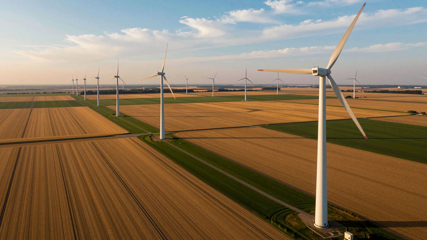
About 87% sit on cropland or grassland. Croplands host 45% of turbines, while grasslands claim 42%. Forests account for another 14% of the impacted area.
Think about the actual footprint. If you draw a 2,625-foot buffer around every turbine, the total affected area is massive. It covers roughly 141,700 square miles. That is larger than the state of Montana!
China builds over half of its turbines on grasslands. Other nations build mostly on fertile cropland. This massive footprint sparks urgent questions about habitat fragmentation, soil erosion, and disruptions to bird and bat populations.
Why accurate turbine maps matter for the energy transition
Precise data changes everything. We know turbine blades threaten wildlife. Knowing the exact location of 416,000 turbines allows scientists to map these risks perfectly, rather than relying on rough regional averages.
We can also track environmental changes in real-time. Scientists can link turbine coordinates to satellite records to spot deforestation, soil erosion, and carbon loss. This gives policymakers the tools they need for smart land management. It helps them place future turbines where they will do the least harm.
Because this tool runs on free platforms, any country can use it. It is a vital tool for our green future.
But this map is just the beginning. What else have they discovered after mapping every wind turbine on Earth?
Kelly is an experienced writer with 15 years of experience exploring the big stories that shape our world, from tech breakthroughs and space exploration to climate, energy, and the fascinating quirks of science. She has a talent for turning complex ideas into sharp, memorable insights that stay with readers long after they’ve finished reading.
