
Ocean Winds begins seabed surveys off Gippsland in a push to build one of Australia’s first major offshore wind farms
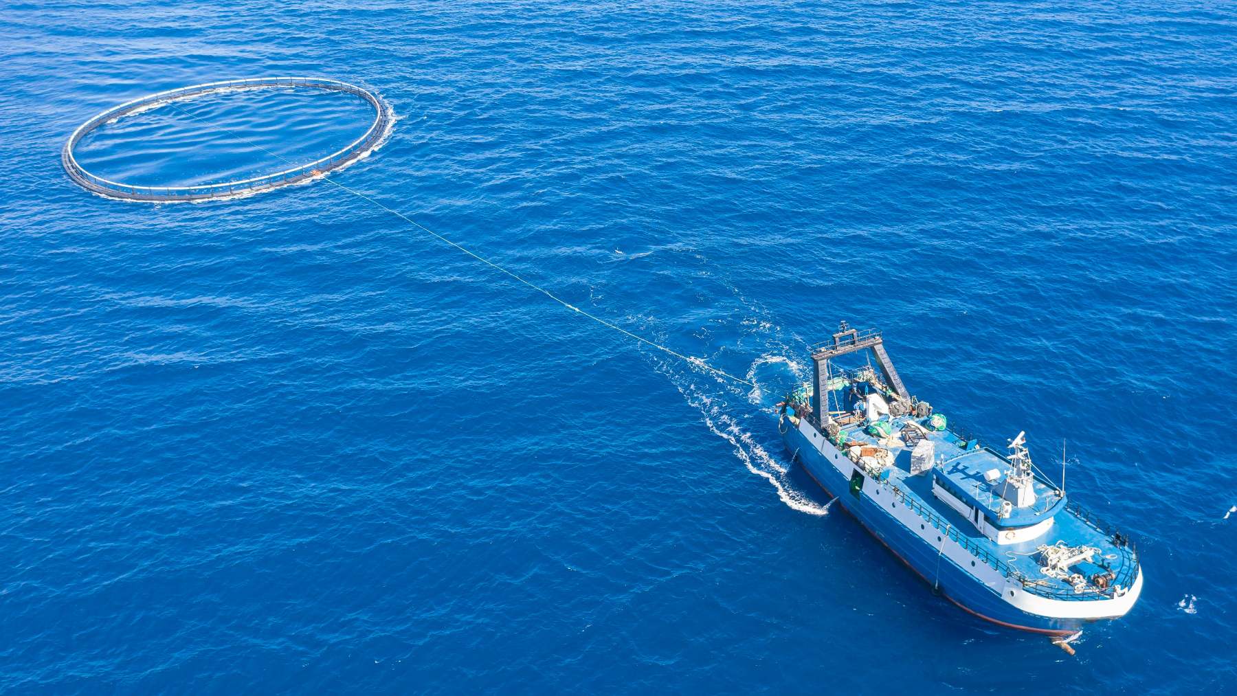
Off the Gippsland coastline, survey vessels are quietly moving across open water — scanning not the horizon, but what lies beneath it. Using advanced sonar systems, they’re building a detailed picture of the seabed: its contours, its composition, the hidden geography that will ultimately shape one of Australia’s most ambitious clean energy proposals.
Most people onshore won’t notice. But what these ships map over the next four months could help determine whether — and where — Australia plants some of its first major offshore wind turbines.
Australia’s offshore wind industry finds its footing
Australia’s energy transition has picked up pace in recent years, with offshore wind emerging as a central pillar of the country’s long-term clean power strategy. The federal government has identified several priority zones where large-scale development could help replace retiring coal capacity and meet growing electricity demand. Gippsland, off the Victorian coast, is among the most advanced — a region with strong wind resources and close proximity to existing grid infrastructure.
Regulatory approvals remain the critical gating factor, and the project’s timeline will depend heavily on how that process unfolds.
The High Sea Wind project, developed by Ocean Winds, sits squarely within that national push. Proposed at up to 1.3 GW, it could become one of the first utility-scale offshore wind farms in the country. Projects of this scale don’t materialize overnight. They require years of technical groundwork before a single turbine goes in the water.
What a geophysical survey actually does
Before any offshore wind structure can be built, engineers need a detailed understanding of the seabed. A geophysical survey answers the fundamental questions: What is the seafloor made of? How stable is the ground beneath it? Where do underwater cables need to run? Without this data, placing turbines safely and efficiently would amount to guesswork.
Ocean Winds is conducting the survey in partnership with EGS Australia, a specialist in hydrographic and geophysical survey services. The campaign uses advanced sonar-based systems mounted on both nearshore and offshore vessels — non-invasive tools that collect data acoustically, without drilling or disturbing the seabed. What’s gathered covers seabed conditions and subsurface structure, directly informing where turbines can be anchored, how foundations should be engineered, and the most practical routes for underwater cables.
Four months of low-impact mapping with marine life in mind
The survey program is expected to run for approximately four months. Two vessel types are involved — nearshore craft working in shallower coastal waters, offshore vessels operating further out — allowing the team to build a continuous picture from the coast outward.
Environmental responsibility is built into how the campaign operates. All survey methods are classified as low-impact, avoiding techniques that could disturb or damage the marine environment. Qualified marine mammal observers are present onboard throughout operations, monitoring for whales, dolphins, and other marine life. Ocean Winds has described environmental protection as a core commitment to High Sea Wind, and the survey design reflects that — low-impact methods at this early stage set a precedent for how the broader project intends to operate.
From seabed data to 1.3 GW: the road ahead
The data gathered over these four months feeds directly into the next phases of project development — informing engineering design, shaping environmental impact assessments, and supporting the regulatory approvals process that any large offshore infrastructure project must navigate.
Pelayo Rodriguez Alonzo, Head of Business Development for Japan and Asia Pacific at Ocean Winds, described the surveys as marking “an important milestone for High Sea Wind as we continue to build a strong technical foundation.” Comprehensive geophysical data, he noted, is fundamental to designing a project that is safe, efficient, and environmentally responsible.
At up to 1.3 GW, the project would represent a meaningful contribution to Australia’s clean energy supply — potentially powering hundreds of thousands of homes, depending on capacity factors and grid conditions.
Regulatory approvals remain the critical gating factor, and the project’s timeline will depend heavily on how that process unfolds. Considerable ground still lies between survey data and operational turbines. The current survey’s job is narrower: laying the technical foundation that makes those approvals possible in the first place.
For those tracking Australia’s offshore wind sector, the milestones worth watching are the survey’s completion, the findings it produces, and whether High Sea Wind advances into formal environmental and regulatory assessment. The seabed mapping has begun — what gets built on top of it remains, for now, a question still being answered.
Daniel García is an Editor-in-Chief with strong expertise in structural work and engineering principles. He combines this technical foundation with deep knowledge of energy, spatial design, and emerging technologies, bringing a forward-thinking and analytical approach to editorial leadership.
